TouchScreenTravels logo

TouchScreenTravels

Our Touch, your Travels…

This is a preview of the full content of our France’s Best app.

Please consider downloading this app to support small independent publishing and because:

  • All content is designed for mobile devices and works best there.
  • Detailed in-app maps will help you find sites using your device’s GPS.
  • The app works offline (one time upgrade required on Android versions).
  • All advertising (only present on Android versions) can be removed.

The app will also allow you to:

  • Add custom locations to the app map (your hotel…).
  • Create your own list of favourites as you browse.
  • Search the entire contents using a fast and simple text-search tool.
  • Make one-click phone calls (on phones).
iOS App Store Google Play

Vosges Mountains

The Route des Crêtes

Grand Ballon Alsace

The Grand Ballon, highest peak on the Vosges.

The Vosges Mountains run along the left of the Rhine Valley on the French side, close to the border with Germany. A good way to see the mountains is by car. Travel from north to south along the Route des Crêtes, the road built by the French Army during WWI.

Start by ascending to the Col du Bonhomme (949m) at the northern end. Pass Lac Blanc where the road becomes the D61, follow on to the Col del la Schlucht (1135m) and enjoy the great views of the ‘ballons’ or rounded tops as you pass. Soon the summit of Le Hohneck (1362m) comes into view.
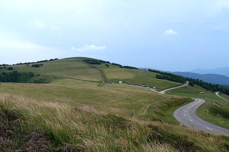
Routes des Crêtes

Route des Crêtes

Following the Route you will come to the resort of Le Markstein and the Grand Ballon (1424m) will be in full view with its communications equipment and just below the summit a monument to Les Diables Bleus, the mountain troops who defended the Vosges during WWI.

Read the full content in the app
iOS App Store Google Play

Grand-Est

Text © Paul Shawcross

Images by Florian Grassir, Sail over