TouchScreenTravels logo

TouchScreenTravels

Our Touch, your Travels…

This is a preview of the full content of our Devon & Cornwall’s Best app.

Please consider downloading this app to support small independent publishing and because:

  • All content is designed for mobile devices and works best there.
  • Detailed in-app maps will help you find sites using your device’s GPS.
  • The app works offline (one time upgrade required on Android versions).
  • All advertising (only present on Android versions) can be removed.

The app will also allow you to:

  • Add custom locations to the app map (your hotel…).
  • Create your own list of favourites as you browse.
  • Search the entire contents using a fast and simple text-search tool.
  • Make one-click phone calls (on phones).
iOS App Store Google Play

Branscombe to Beer Walk

Creamy cliffs and jaw–dropping views (6 miles)

2001-D272  Devon

Visiting the quaint village of Branscombe opens up walks along the area’s crumbly white cliffs. The National Trust has devised this 6-mile circular coastal walk to picturesque Beer.

The route starts in Branscombe’s Margells Bridge car park, then follows the valley down to Branscombe Beach. It heads up through the spectacular Hooken Cliffs – a heavily-eroded section of shore.
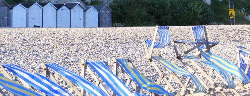
Cretaceous Chalk Cliffs, Beer Devon.

After rounding Beer Head you descend into the village of Beer, where ice-cream stalls, the Anchor Inn and the Smuggler's Kitchen await.

The return leg brings more sensational views as your route heads back along the top of the Hooken Cliffs before arriving at Branscome and the start point.

Practical Info Practical Info icon

Trail head Margells Bridge car park, Branscombe. EX12 3DB (this entry’s map location)

Route Info nationaltrust.org.uk

East Devon Coast Sights

South West Coast Path (630 miles)

Text © Belinda Dixon

Images by Gerry Labrijn, Sludge G