TouchScreenTravels logo

TouchScreenTravels

Our Touch, your Travels…

This is a preview of the full content of our Indiana’s Best app.

Please consider downloading this app to support small independent publishing and because:

  • All content is designed for mobile devices and works best there.
  • Detailed in-app maps will help you find sites using your device’s GPS.
  • The app works offline (one time upgrade required on Android versions).
  • All advertising (only present on Android versions) can be removed.

The app will also allow you to:

  • Add custom locations to the app map (your hotel…).
  • Create your own list of favourites as you browse.
  • Search the entire contents using a fast and simple text-search tool.
  • Make one-click phone calls (on phones).
iOS App Store Google Play

The National Road

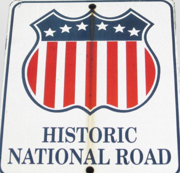
Sign for National Road in Richmond, IN

The National Road, a State and National Scenic Byway that stretches 824 miles from Maryland to Illinois. It cuts a swath from east to west through the middle of Indiana, following Hwy-40 and joining various towns and cities as those listed below.

A much better way across the state than I-70, if you have the time.

Practical Info Practical Info icon

317-822-7939

indiananationalroad.org

Indianapolis

White River State Park

Cambridge City

Antiques, art, apples & history

Centerville

Historic Byway

Huddleston Farm

Old time flavors

Richmond

Charmingly Historic with Plenty to Do

Terre Haute

Soda, Suds, Arts and History

Text © Jane Ammeson

Image by Peetlesnumber1